The Offices Behind Flemington Property Records
Taylor County offices do the record keeping for Flemington. The County Clerk records deeds and other instruments. The Assessor tracks parcel values and mapping. The Sheriff's Tax Office handles the tax tickets that feed each year's tax bill. Town records sit apart from all of that. For permit, zoning, right-of-way, or code history, the municipal office is the contact point. The town publishes no search fields, copy prices, or coverage dates online for those local files.
Taylor County deed and assessment records
Clerk for recorded instruments; Assessor for value and parcel mapping.
Town of Flemington records
Municipal contact for town-held files
Permit and zoning search not located
Use the official town site
Flemington’s 1922 Town Record
Flemington dates its town record to 1922. A Circuit Court incorporated the town that year, according to its official history. It named the town for James Fleming, an early settler whose former home stood in Hampshire County. That date works as a dividing line for property research. County deed records can show transfers of the same land long before town government existed. Later minutes and code files belong to municipal administration. Elections are held every two years on the second Tuesday in June. Officials take office on July 1. Those dates may signal where an elected office's records begin. They say nothing about when the county deed or tax record starts. The Flemington history page is the source for the incorporation and naming account.
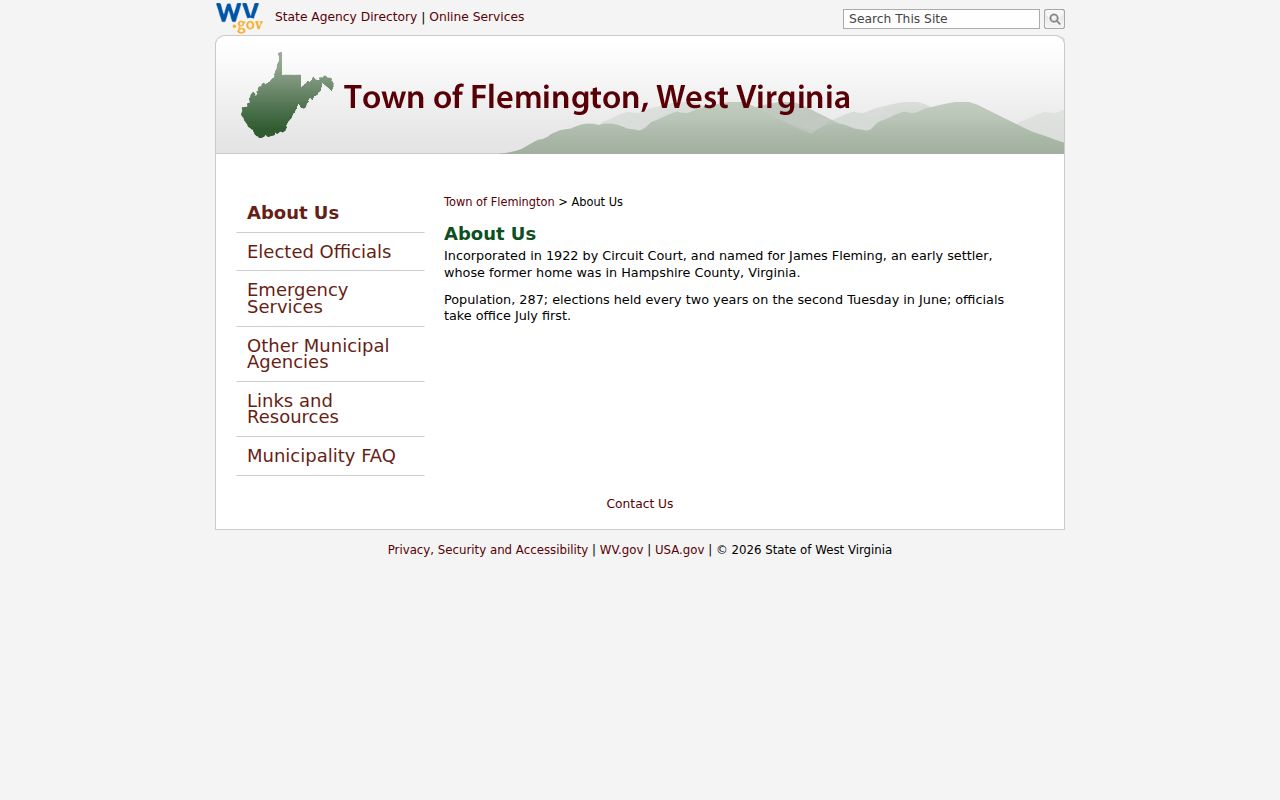
The 1922 incorporation date is a local clue only. The property transfer itself still sits in the County Clerk's deed books.
Population Figures for Flemington
Two population figures circulate for Flemington, and each comes with its own source. The 2020 Census incorporated-place table lists 309 residents, while the town's history page states 287. Keep the source and date attached to whichever number you use. Do not pick one silently. Neither figure measures parcel count or building density. The Census table does confirm Flemington as an incorporated town inside Taylor County. That separates it from unincorporated postal communities. Even a small town relies on the county Assessor, Clerk, and tax system. Those offices hold its property records. A Flemington postal address alone is not proof of anything. It does not show that a parcel sits inside the town line. The Census incorporated-place table supplies the 2020 figure. The town history page supplies its own statement. For any specific property, the parcel ID, the deed, and the municipal boundary set the record trail. Population data is context, nothing more.
Flemington Permits Need a Town Request
Flemington publishes no online permit or zoning lookup. The municipal site offers no application form, map, or fee schedule. It carries nothing for building or code records. A town permit history is therefore a contact question. Ask officials whether they hold a building, occupancy, zoning, street, right-of-way, or code record. Include the address and the date range you care about. Identify the street location, the approximate project year, and the type of record you want. Ask who the custodian is, and whether the file can be inspected or copied. There is no online permit number, standard response time, or local copy charge to rely on. Avoid assuming details from a larger municipality's process. Give the town the Taylor County parcel ID along with the street address. The ID links your request to the county assessment and map records. The local office can say whether a town file exists at all. The town's history page provides incorporation and election context only. It is not a public register of every zoning or building action. The official Flemington municipal site is the contact route for current records questions.
The page provides a town-government starting point, not a searchable permit database.
Before Incorporation: Flemington Deeds
Land around Flemington can carry a long deed history. It runs well past the town's 1922 incorporation. The Taylor County Archives hold deed books from 1844 through 1901. A deed index reaches 1970. Those dates describe the cataloged archive holdings. They say nothing about the earliest year in the modern online Clerk index. The Clerk does not publish that starting year.
Work backward. Start with a modern Taylor County property records search. Then read the deed's "And Being" paragraph. It names the prior owner, the earlier date, and a book and page to chase. When the online index stops, the Archives deed index takes over. The Clerk or Archives staff can point to the right volume or microfilm. A town's incorporation date never resets the chain of title.
Keep the two coverage windows separate in your notes. One covers historic deed books and their index. The other covers the modern online index, whose starting year is simply not published. A land transfer recorded before Flemington existed still sits inside the County Clerk's record chain. No municipal file from that era survives, but the county chain holds it anyway.
The WV Archives Taylor County finding aid lists the known historic deed and index periods.
Flemington Postal and Parcel Boundaries
Flemington has no published ZIP crosswalk, no annexation map, and no parcel-prefix system. So don't assume every parcel carrying the town's postal name sits inside it. A mailing label is one thing. A corporate limit is another. A tax district and a deed description are two more, and each is a different piece of geography.
For land near the town edge, ask Flemington officials whether it falls inside the municipal boundary. Then ask the Taylor County Assessor for the parcel's district. The statewide viewer shows parcel context, but it is no substitute for a legal survey. Older deed records may describe a tract by road or stream. Some use acreage instead. Others name an adjoining owner rather than a street number.
These steps keep a Flemington town file from being tangled up with a neighboring unincorporated Taylor County parcel.
Flemington Values in the Taylor Roll
Flemington has no separate assessor. Every town parcel is valued by the Taylor County Assessor on the annual July 1 cycle. The Assessor sets assessed value at 60% of market value. No Flemington-only value trend exists.
Use the county parcel assessment for the tax year. Pull the County Clerk deed for any recorded transfer. Be careful with the deed's stated consideration. Transfer rules allow exempt or nominal amounts. That figure should never be read as the town's market value. Flemington itself publishes no property-value portal or local trend report.
The Taylor Assessor's annual valuation page describes the county-wide 60% relationship.
Search Flemington Parcels in Taylor County
Start by choosing Taylor County in West Virginia's assessment search. Then query by owner of record or street. You can also search by district, map, parcel, subparcel, property class, tax class, or land use. The portal offers Basic, Appraisal-Sales, Advanced, and Prior Ownership modes. A complete parcel number carries district, map, parcel, and suffix. Keep the leading zeroes so anyone can repeat the search exactly.
The result is a county record even when the address reads Flemington. Check the tax year first. Then check the physical address and parcel ID before using it to request a deed or a town file. A postal name alone proves nothing about the town boundary.
The Assessor sets assessed value at 60 percent of market value. That figure is set on the July 1 valuation date. If the value or property class looks wrong, ask about the current record. You can also raise it during the annual Board of Equalization and Review window.
Map Cards and Deed Descriptions Near Flemington
The state parcel viewer shows a parcel's shape and displayed attributes, while the Assessor's map-card system works from district and map/parcel selectors. The viewer helps you find a tract. It is not a survey. A deed may describe an old lot by acreage, road, district, or adjoining owner rather than a modern address, so match the legal description to the selected parcel before requesting a map card.
Printed county map pricing is posted by size and type. An 8.5 by 11 inch map runs $1. Add an aerial image and it becomes $3, as does an 11 by 17 inch map. An 11 by 17 inch aerial, topographic, or flood map costs $6. Other documents are $1, and staff handle digital copies case by case. Map-card copies require an office visit. Call the Assessor at 304-265-2420 to confirm the right card and current copy arrangement.
Flemington Tax Records Remain County Records
The Taylor County Assessor keeps the tax roll for Flemington parcels. The Sheriff's Tax Office handles the tax tickets themselves. No public local ticket-search site or Flemington tax portal exists. For a tax bill, balance, payment, or delinquency question, contact the tax custodian with the full parcel number and tax year. The assessed value alone won't settle it.
Values follow the county's July 1 assessment cycle. They also reflect the stated 60 percent relationship to market value. A Flemington address creates no separate municipal assessment. If a recent deed doesn't match the current owner of record label, compare the recording date against the assessment year. Then ask the Assessor which tax roll entry applies.
Limits of Flemington Property Records
Flemington publishes no list of its subdivisions or plats. It offers no postal ZIP crosswalk. There is no annexation map, no parcel-prefix system, and no searchable local permit register. The town office may still hold a local file. The County Clerk or Assessor holds the underlying land record. Either way, bring the address, the date range, the party name, and the full parcel ID. Staff can then route the question quickly.
A town's incorporation history and population figures add color. They prove nothing about boundaries or ownership. An official transfer lives in the deed. Tax questions belong with the county custodian. A legal boundary calls for a licensed surveyor. Public map outlines and mailing labels settle none of these matters.