
Start a Taylor County Nearby-Parcel Search
Taylor County offers no separate neighbor-lookup database. The practical route starts in the West Virginia GIS viewer. Locate the subject parcel first. Study the surrounding geometry on the map. Then carry each nearby parcel number into the Assessor system. The map identifies which tracts sit around an address. The county roll and Clerk index supply the owner and deed records.
Begin with the property's E911 address or its complete assessment number. A street name can cover a long road or several tax parcels. Rely on the selected polygon and its displayed district-map-parcel-suffix instead. Never identify a neighboring owner by visual proximity alone. Confirm each selected parcel is the intended tract before moving on.
Map Nearby Taylor County Parcels
The state viewer supports address search, parcel attributes, geometry, coordinates, and a buffer tool. Search for the subject property and select it. Adjust the buffer to organize a search area. Open nearby polygons individually and note full identifiers. The viewer also exports selected information to CSV, which keeps a working list consistent. The official parcel page displays the map interface itself. Open the West Virginia parcel viewer to examine surrounding Taylor County parcels.
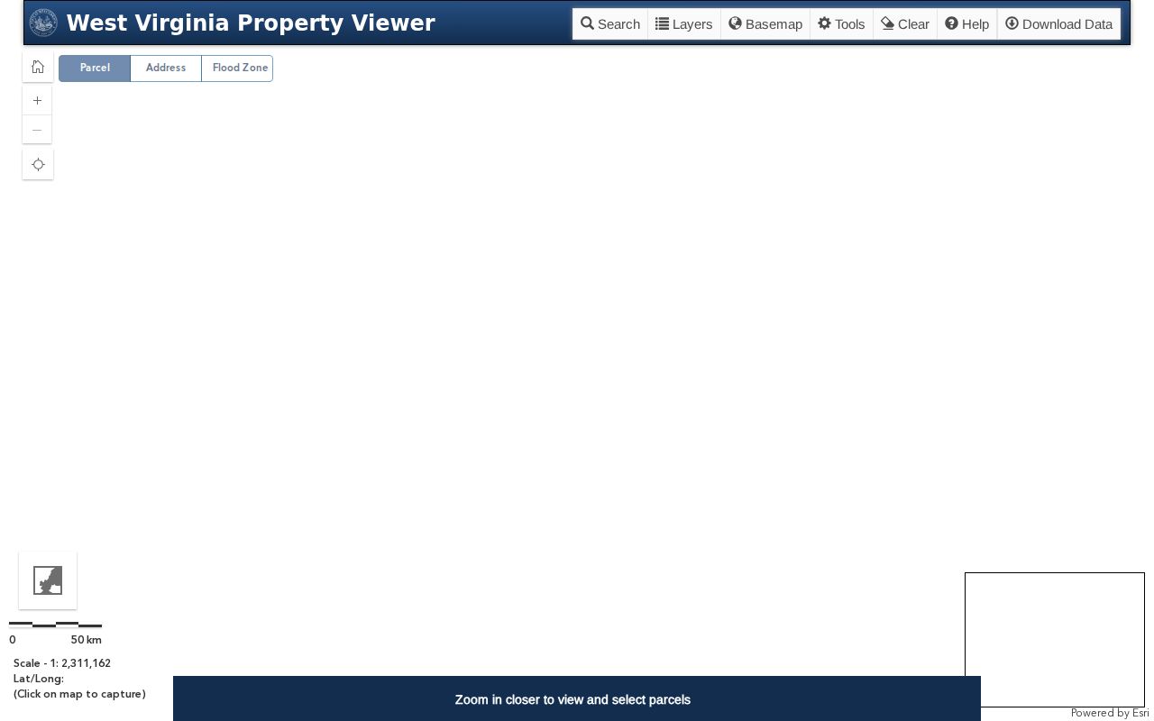
The map supplies geographic context only. A selected parcel's attributes still need matching to assessor and deed records.
The viewer's "Set Buffer Size" control defines a radius around a chosen point or parcel. Widening the buffer may surface more surrounding features. It creates no official list of adjacent owners. Open each highlighted polygon and record its actual parcel number before counting it in the nearby-property set.
Confirm Each Nearby Parcel with the Assessor
For each nearby outline, gather its district, map, parcel, and suffix. Carry those into the West Virginia assessment portal. Choose Taylor County there. Search by the exact parcel number. Street and owner fields can verify the roll entry too. Keep subject and adjacent parcels in separate notes. A buffer may include land that shares no boundary.
The assessment search offers Basic, Appraisal-Sales, Advanced, and Prior Ownership screens. Fields vary between parcels. Inspect the chosen record for its actual owner label and year. Do not assume every field appears on every parcel.
Use the exact district, map, parcel, and suffix the viewer returns. The portal also accepts street, owner, property-class, tax-class, and land-use fields. An adjacent parcel may hide under a different address spelling. Fall back on its map identifier to locate the assessment record. Compare the physical address and district before saving the owner label.
What “Nearby” Means on a Parcel Map
Geographic closeness is not a legal relationship. A parcel may sit across a road, stream, or gap from the subject tract. A buffer can select it without proving the properties touch. Use the viewer to spot candidates, then consult recorded descriptions if the relationship matters. The GIS display runs at an approximate scale of 1:18,056. That is no survey measure.
A neighboring address is not the same as a neighboring owner. One person can hold multiple parcels. One parcel can show several deed parties while the popup shows a single owner label. Treat the parcel number as the bridge between systems.
A polygon close to the subject may be split. A public road, stream, or other feature can divide it. Screen scale makes narrow gaps hard to see. The state viewer's approximate display scale is around 1:18,056. That detail suits locating candidate records. It will not measure frontage, acreage, or the distance between legal boundaries.
Check Nearby Owner Names in Public Records
Start with the Assessor's owner name. Once a likely owner of record appears there, pull the recorded deed from the County Clerk's compiled index. Party roles matter: a grantor conveys, a grantee receives. The instrument's legal description shows whether it matches the mapped parcel.
Entities deserve extra care. Search related names carefully when an LLC, trust, estate, or co-owner appears. The Clerk index also holds liens and releases that are not conveyances.
A mailing address proves little about identity. Neither does a similar name. The records document parcels and transactions. They are not a personal directory. The assessment tracks a tax cycle while the Clerk index organizes recorded instruments by party role, so compare the dates and the legal descriptions when the Assessor owner field and the newest deed differ. A later filing, a parcel split, a suffix, or a name variation often explains the difference.
Street Names and Municipal Labels Can Mislead
A Grafton mailing name means little by itself. Neither does a Flemington label on an envelope. Postal names, municipal boundaries, tax districts, and deed descriptions each answer a different geographic question. An address can carry a city name yet sit outside the town line.
Jurisdiction still matters. Ask the relevant city or town office to confirm the location, then compare the answer with the Assessor's district.
Taylor County publishes no parcel-prefix guide. No verified crosswalk to city subdivisions exists either. Guessing from a neighborhood or mailing name is a poor substitute for the official map and the complete parcel number. For a tract near a municipal edge, ask Grafton or Flemington officials whether the address sits inside city or town limits. Then check the Assessor's district and parcel number. Postal delivery areas, local government boundaries, and tax districts are not interchangeable, and a neighbor's municipal address does not prove the subject tract's jurisdiction.
Keep a Reproducible Taylor County Map Note
Good notes start with the parcel. For each selected parcel in the Taylor County viewer, record the search address, parcel ID, date viewed, displayed owner label, and map scale or buffer used. Save the deed book and page separately. Keep index references apart from the GIS note. Another researcher can then repeat the lookup and see whether a difference came from the map, the assessment year, or a later recorded transfer. The Taylor County parcel-map guide covers the viewer, map-card access, and why a screen outline is not a boundary survey.
A reproducible note also separates the selected parcel from the surrounding search buffer. Note how the selection was made. Record the full district-map-parcel-suffix. Record the date checked and the displayed owner label as well.
CSV exports need care. Retain the source and keep each parcel on its own line rather than treating the export as a certified ownership list.
Some parcels seem to cross a road or stream. Inspect that deed description, and ask a surveyor if a physical boundary relationship matters. The map can identify which records to request, but it cannot resolve whether a line is a legal boundary, easement, or road edge.
Limits of a Taylor County Neighbor Search
GIS adjacency finds nearby parcels. It is not a complete record of who lives near a property or who owns every interest. The viewer may show one owner, an incomplete mailing address, or a generalized boundary. The Assessor entry is a tax record. The deed index is a locator for recorded instruments. No single screen establishes a legal boundary or complete title. For boundary placement, contact a licensed surveyor; for ownership or conveyance questions, request the source deed and consult a title professional or attorney. For assessment details, ask the Taylor County Assessor.
| Source | Neighbor-search role | Boundary limit |
|---|---|---|
| State GIS viewer | Locate surrounding parcel candidates | Map context is not a survey |
| Assessor search | Match each candidate to a tax parcel and owner label | Roll name may not list every deed party |
| County Clerk index | Find recorded deeds for a parcel or party | Index entry is not a complete title opinion |
Record the subject tract first. Then check each surrounding parcel on its own. The GIS viewer's geometry and buffer tools help build a candidate set. The Assessor roll provides the parcel's tax record. The Clerk index locates the deed if a transfer needs confirmation. No screen lists every bordering interest.
Shared notes need dates and sources. Include the date viewed and source URL when an exported map or search note goes to another researcher, because the viewer's display can change as layers and records are updated. Save the parcel number and the record citation, not only a screenshot, so the same county file can be found again.