Offices Behind Grafton Property Records
Taylor County holds the land record side. The County Clerk records deeds and other conveyances affecting a Grafton parcel. The Assessor maintains the tax roll, appraisal, and mapping. The Sheriff's Tax Office handles tax tickets and delinquency. Permits, renovations, and safety questions go instead to Grafton's Building and Development division, which is a code and permit contact rather than a municipal deed recorder or assessor.
Taylor County deed and assessment records
Clerk for recorded instruments; Assessor for tax value and parcel mapping.
Grafton Building and Development
1 W. Main St.
Grafton, WV 26354
304-265-1881
Population and Neighborhood Records in Grafton
Grafton counted 4,722 residents in the 2020 Census. That figure offers dated city context only. It is not a tally of parcels, permits, or current households, and a property search still resolves through Taylor County's assessment and deed systems. Municipal records stay with the city when a local permit or code matter is involved.
Grafton publishes no named subdivision list, no plat index by neighborhood, and no city parcel-prefix guide. Do not infer a legal subdivision from a neighborhood label or street name. For a lot or plat reference, compare the recorded deed description with the Assessor's district-map-parcel-suffix, and ask the Clerk about any plat cited in the instrument.
A city mailing address is not proof of anything. A home can carry a Grafton address yet sit outside the corporate boundary. When a permit, municipal service, or city-limit question turns on location, ask Building and Development to confirm the address. Treat the county map as geographic context only.
Grafton Building and Code Records
Grafton’s Building and Development division is the city contact for permits, renovation questions, safety, and code matters. The reviewed page does not offer a public permit-number search or list searchable fields, historical date coverage, or copy fees. Treat the request as a conversation with city staff and give the address, project type, and approximate date so the office can say whether it holds a file.
The city lists Inspector Ryan D. Roberts and the contact route at 1 W. Main Street, Grafton, WV 26354, phone 304-265-1881, email graftoncode@gmail.com. Ask whether a permit, inspection, code, or renovation record exists and what access or copy process applies.
Open Grafton’s Building and Development page for the local permit and code contact.

Grafton's page lists contacts only, not permit history.
Request a Grafton Property Permit Record
Bring the street address, parcel number if known, project description, and approximate year when you contact Building and Development. Ask plainly whether the city holds a permit record for that location. The record could be an application, inspection, renovation, safety, or code file. The city page publishes no search form. No indexed permit number, historical date span, standard copy price, or processing time is listed.
Ask about jurisdiction first. A home near the line may fall outside Grafton entirely. An unincorporated parcel can still carry a Grafton mailing address. Yet it may follow a different local record path. File the city's reply with the county parcel and deed citations. A municipal permit file and a county land record document separate events. Each answers a different question.
Grafton Business, License, and Building Files
Grafton's business page links residents to business license, building, and code information. The city publishes no public license register. Nothing searchable by owner, issue date, or address appears. A name in a business file can identify a license holder or operator. It does not prove ownership of the parcel.
When a business record matters to a property question, ask a simple question first. Which application or license file does the city hold? Ask whether the record is open for inspection. Then check ownership through the County Clerk deed index. City licensing and county land records serve entirely different purposes.
The public business page is a directory of service links. It is not evidence that a particular company operates at a given parcel. The city does not publish its search fields or a register export. Ask how the files are organized, whether by business name, address, or applicant. Review Grafton's business and development information for the local license and building links.
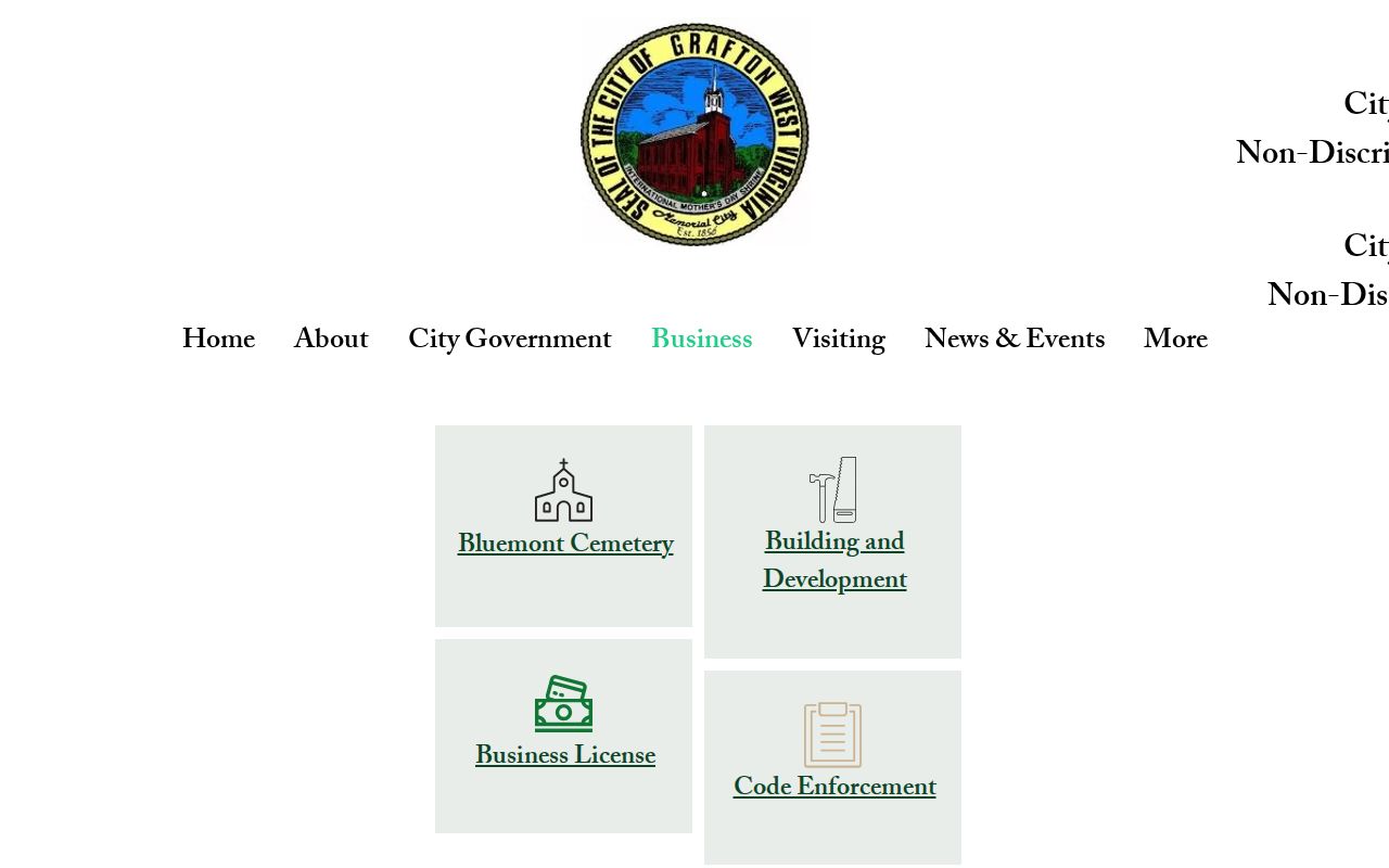
The business page lists services, not a license roster.
Grafton Values in Taylor County’s Assessment Roll
Grafton relies on the Taylor County Assessor for its parcel roll and mapping. No separate city assessor handles these duties. West Virginia sets July 1 as the annual valuation date. The county pegs assessed value at 60 percent of market value. When you read a Grafton assessment, pair it with the tax year. Add the complete parcel ID. That figure is a tax record. It is not an appraisal or a prediction of sale price.
To pull up a parcel, choose Taylor County in the statewide assessment portal. Search by owner, address, district, map, or parcel. Suffix, property class, tax class, and land use work too. Call the Assessor when two nearby properties share an address form. The office can help when the city line is unclear.
Grafton Deeds and Legal Descriptions
Deeds for Grafton property are filed with the Taylor County Clerk. The city has no separate deed office. The compiled index lets you search by document type, subindex, book, party role, and name. A practical route for a current parcel: take the Assessor number as your bridge. Run the owner as both grantor and grantee, then read the legal description on the actual instrument. Expect older language. A deed may describe the land by an old road, district, acreage, or adjoining owner. It may not use a current street address at all.
The Clerk publishes no earliest year for the modern online index. It lists no universal image fee either. Older transfers have another route. The West Virginia Archives finding aid catalogs Taylor deed books from 1844 through 1901. It also lists a deed index covering 1844 to 1970. Those holdings are a catalog entry, not a promise of online access.
Grafton Parcel Maps and Assessor Cards
The state parcel viewer locates Grafton-area parcels and shows geometry, coordinates, and attributes. Treat its polygon as a research map, not a legal survey. The Assessor keeps a separate map-card system driven by district and map/parcel selectors. Paper copies are available through the office. When you match a card to an assessment result, keep the suffix and any leading zeroes.
Printed mapping carries set prices. An 8.5 by 11 inch map costs $1, and an aerial on that size runs $3. An 11 by 17 inch map is $3. An 11 by 17 inch aerial, topographic, or flood map is $6. Other documents are listed at $1. Digital copies are priced case by case. Confirm the product and current charge before you visit.
Request a card with the full district-map-parcel-suffix. This matters especially where a Grafton address sits near a parcel with a similar street number. The Assessor's card identifies the tax mapping reference. The deed's legal description remains the recorded land description. A print map supports research. But it cannot replace a signed survey when a property line is in dispute.
Grafton Newspaper and Directory Clues
The Taylor County Public Library holds a local history collection. It includes newspaper microfilm, city directories, obituaries, cemetery readings, and family-history material. These sources can tie an old owner name to a street, business, or date. They are not substitutes for a recorded deed. Newspapers are not indexed for a general property-name search. Staff need an exact publication date to pull a page.
The newspaper holdings are specific. The library lists the Grafton Eagle for 1884 through 1885. Weekly Sentinel runs cover 1897 to 1901 and 1906 to 1929. The Daily Sentinel runs from 1907 to April 1974, with November 1921 missing. Selected Grafton News issues survive from 1934 to 1935 and 1969 to 1972. A gap in one issue run does not mean a property event never happened.
Narrow the event to a date first, using the deed or probate record. Then ask library staff to consult the unindexed issue. A city directory can match an older business or family name to a location. An obituary adds identity context. Neither source transfers land or establishes an owner. For that conclusion, return to the Clerk's recorded instrument.
Grafton Tax Records Follow the County Calendar
A Grafton property's annual assessment sits on the Taylor County roll. The Sheriff's Tax Office handles the tax ticket. The county publishes no ticket-search site. Contact the tax office directly for a bill, balance, or delinquency question. An assessment result identifies the parcel and value. It is not payment confirmation.
A disputed value goes to the Assessor. The Assessor administers the Board of Equalization and Review window from February 1 through February 28. The city sets no separate assessment for parcels inside its postal area.
What Grafton Property Records Can Confirm
Deeds, assessment entries, tax records, and maps each carry weight. Together they document different parts of the property record. City Building and Development may hold permits or code materials. The business page posts municipal-license links. No public permit database or citywide license list exists, though. Ask the office that keeps the specific file you need.
A city mailing address proves nothing about ownership. Neither does a GIS outline. The county publishes no Grafton subdivision roster or plat-name crosswalk. Rely on the deed's legal description. Ask the Clerk or Assessor for the correct reference. For title reliance, obtain the recorded instrument and consult a qualified professional. For a boundary, consult a licensed surveyor.