
What Taylor County Parcel Maps Show
Taylor County parcel research runs along two map routes. The West Virginia parcel viewer handles statewide GIS geometry. The Assessor's map-card system holds county assessment references. The viewer finds an E911 address, shows parcel attributes and coordinates, draws geometry or a buffer, and exports selected details. The Assessor's map-card site works through district, map, and parcel selectors, with paper copies available at the office.
These tools help match a parcel number to its tax-roll entry. A map line is only a visual reference. It cannot replace a recorded deed description, a boundary survey, or a professional opinion on an easement or legal line.
| State parcel viewer | Address search, parcel attributes, geometry, coordinates, buffer tool, and CSV export |
|---|---|
| Assessor map cards | District and map/parcel selectors for the county’s assessment mapping reference |
| Recorded deed | Legal description and transfer terms filed with the County Clerk |
| Boundary survey | A licensed surveyor’s work when a legal line or monument must be located |
Locate a Parcel in the West Virginia Viewer
Begin with a known E911 address or an assessment parcel key. Once the map centers on the area, select the parcel to open its attributes. Write down the district, map, parcel, and suffix exactly, keeping any leading zeroes. Then check the physical address and owner label against the assessment portal. A popup may show a single owner even when the deed names co-owners. So use the map to orient a property search. Read the deed to review the conveyance itself.
The viewer offers geometry and buffer tools. Pick the parcel before exporting or comparing features. It also displays coordinates. They help when an address is approximate or context around a property is wanted. None of that validates a legal boundary. The display scale sits near 1:18,056. So small on-screen gaps or overlaps are not survey findings.
Open the West Virginia parcel viewer to search and inspect Taylor County parcels.
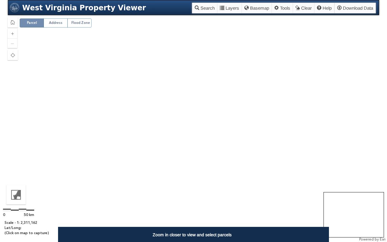
The statewide viewer displays its search and selection controls on the main map page. Confirm the selected parcel's details in its attribute panel and in the county records.
A search is great for moving from a road address to a highlighted polygon. That highlight alone is not a parcel match. Open the feature and inspect its attributes. Then compare the district and parcel key against the Assessor record. Coordinates describe a map location well enough. Yet a point on a general GIS layer cannot locate a monument. It also cannot settle the width of an easement.
Parcel Maps Are Not Boundary Surveys
A GIS polygon is a county mapping layer built to show context. It is not a signed survey. It will not resolve a dispute over a fence, road edge, encroachment, or easement. A deed may carry a metes-and-bounds description. It may also hold older adjoining-owner references. No general web map can confirm those. When the exact line matters, compare the recorded description. Then hire a licensed West Virginia surveyor.
A displayed owner or mailing address is not a title report either. The map may list one owner while the instrument names several people or an entity. A parcel outline helps you find the right map card. But a title question belongs with the deed chain. A boundary question belongs with a survey.
Request Taylor County Assessor Map Cards
The Assessor's map-card site provides district and map/parcel selectors. Copies require an office visit, though the county's online system helps narrow the requested card. The mapping office also lists printed map options and a case-by-case digital route.
| Map product | Listed charge | Access note |
|---|---|---|
| 8.5 × 11 inch map | $1 | Standard printed map |
| 8.5 × 11 inch aerial map | $3 | Map with aerial image |
| 11 × 17 inch map | $3 | Larger printed sheet |
| 11 × 17 inch aerial, topo, or flood map | $6 | Ask which layer is available for the property |
| Other documents | $1 | Digital files are considered case by case |
Review the Taylor County mapping office’s map options before visiting for a copy.
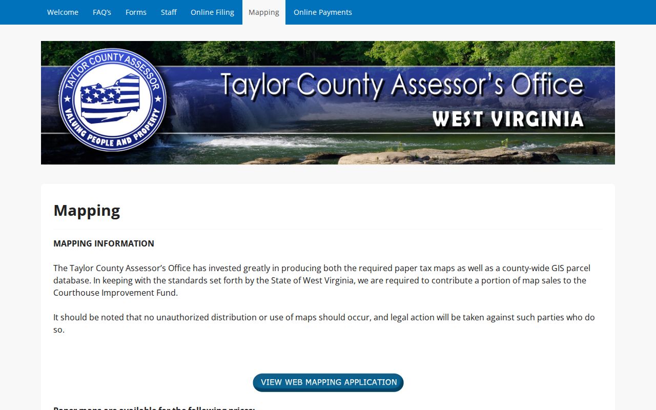
The map-copy page lists its print prices. Call the Assessor to confirm current availability and the process for a specific parcel.
The online map-card selector is organized around district and map/parcel references. Have the full identifier ready before choosing a card. An address alone may not reveal which tax-map page is needed. A paper card and the statewide viewer can draw on related identifiers yet show different details, so record the exact card selector along with the date you obtained it.
Read the Taylor County Parcel Number
A Taylor County parcel number has four parts: district, map, parcel, and suffix. Each piece matters. Keep leading zeroes and punctuation when you copy the number between the assessment portal, the map viewer, and a map-card request. A screen may drop or reformat a piece. Compare the underlying fields instead of assuming two similar numbers describe the same tract.
Older deeds can predate the current parcel system. The legal description may rest on acreage, a district, adjoining owners, a road, or a stream. That wording can be the only link to a modern map number. Use the County Clerk's book/page reference and the Assessor's mapping office to connect a historic description to the current parcel record.
Split the district, map, parcel, and suffix in your notes before re-entering a number. Search modes differ. Some accept the full identifier. Others want its pieces. A missing suffix or a lost zero can return a blank screen, or worse, a nearby parcel that looks plausible but is not the same record.
Use a GIS Buffer to Explore Nearby Parcels
The viewer's buffer control adds context. Use it to identify nearby parcels or compare the shape of an area. Then open each parcel individually when its details matter. A buffer is just a search convenience. It does not prove that every highlighted parcel touches the subject tract. Nor does it prove a shared legal boundary.
Take each displayed parcel number to the Assessor portal for neighboring-owner research. Confirm any relevant ownership change in the Clerk index. Map labels can mislead. The owner shown may differ from the full deed parties. It may also differ from the mailing address of record. The Taylor County nearby-parcel lookup guide covers the separate steps.
Grafton and Flemington on County Maps
Grafton and Flemington properties stay inside Taylor County's assessment and parcel systems. A town name in a mailing address proves little. It does not set the municipal boundary or the tax district. It does not set the exact map card covering the property. Ask the town office when the line matters. Then compare the answer with the Assessor's parcel district.
The county publishes no city-specific parcel prefix or subdivision crosswalk. Use the parcel ID and official map instead of guessing from a place name.
A map-copy request for Grafton or Flemington still needs the Taylor County district reference. It also needs the map/parcel reference. Municipal staff can answer a town-limit question. Do not assume they keep county assessment map cards, though. A city permit file, a parcel outline, and a recorded plat have different custodians. Each may require a separate request.
Ask for a Taylor County Parcel Map Copy
The Assessor's office issues parcel map copies. The office sits at 214 W. Main Street, Room 107, Grafton, WV 26354, and the phone is 304-265-2420. Give staff the district, map, parcel, suffix, and any physical address. That identifies the correct card. Confirm the printed price for your size and layer. Ask whether a digital copy can be supplied in your case.
Keep the copy with the deed reference and the assessment year. It helps organize property research. It settles nothing about boundaries, though. A surveyor should answer questions about monuments, acreage, and legal placement.
Describe what you need when you call. A standard sheet, aerial image, topographic layer, and flood map are different products. The posted price list separates them. Digital files are priced case by case, not offered as a guaranteed download. The card and the online viewer may share identifiers yet show different details. Note the card selector and the date.
Old deeds and assessment maps sometimes disagree. Provide the deed's book and page when that happens. Ask which current district, map, parcel, and suffix match the description. Never rewrite a legal description to fit a displayed polygon. A map correction, a deed question, and a boundary survey are separate requests to different professionals or custodians.
For digital data, describe the extent you need. The Assessor scopes and prices digital mapping material case by case. No single posted download price applies. Ask whether a standard map copy, a parcel card, or a custom extract fits your request, since the process differs by record and format.
The map-card page and the statewide GIS viewer differ. Use the viewer to locate and inspect parcel features. Use the Assessor's district/map/parcel selectors to identify a tax map card. Name the layer when you call. Staff can then confirm the matching aerial, topographic, or flood sheet, and the price list distinguishes paper sizes and layers without promising every option for every parcel.
Boundary questions belong with a licensed surveyor, so bring the recorded deed description and any prior map reference. A tax map helps identify the tract. The law of the boundary rests on the record description and field evidence, and a viewer's scale, coordinates, or buffer output cannot substitute for that work.