Offices That Keep Taylor County Property Records
Several offices share custody of Taylor County property records. The County Clerk records deeds and similar instruments. The Assessor keeps the parcel roll and annual valuations. Tax tickets and delinquent accounts belong to the Sheriff's Tax Office. Grafton and Flemington may hold local permits, codes, or town records. Neither city office stands in for the county deed or tax record. Online entry points make it easier to locate a record. Need copies or corrections? Is a record puzzling you? The office itself is still the right place to call.
Taylor County Clerk
128 W. Main St., Annex 2
Grafton, WV 26354
(304) 265-1401, option 4
Taylor County Assessor
214 W. Main St., Room 107
Grafton, WV 26354
(304) 265-2420
Taylor County Sheriff’s Tax Office
County tax-ticket custodian
Direct address and phone not verified
Use the Clerk’s local office links
Taylor County Assessor Search Fields
The state assessment search is the practical first stop for many Taylor County property records. Pick Taylor County first. Then narrow by district, street, owner, or a parcel segment. The portal also splits into Basic, Appraisal/Sales, Advanced, and Prior Ownership modes. The same parcel can be viewed from several angles. The live page does not make its date range obvious. Treat an older result as a question for the Assessor rather than as something outside the record.
The official WV assessment search exposes these search and display controls. A field can narrow the results or change what appears on screen. No field is guaranteed to be filled in for every parcel, though. Expect some blanks.
| Portal Field | How It Helps | Use Note |
|---|---|---|
| County and District | Scopes the search to Taylor and a local district | Choose county before district |
| Owner Name | Finds parcels tied to a listed owner | Try entity names as recorded |
| Street Name | Finds parcels along an address road | Useful when a full address fails |
| Full Parcel ID | Targets one parcel identifier | Keep leading zeroes |
| Map, Parcel, Sub-Parcel | Searches ID segments | Record the parts and the full ID |
| Property Class, Tax Class, Land Use | Narrows by assessment category | Option values were not captured |
| Legal Description / GIS ID | Requests added detail in results | Optional display controls |
The state assessment search for Taylor County displays its county, owner, street, parcel, and class controls on one screen. That is the whole search surface. The Assessor's office stays the contact for an error or a missing parcel.
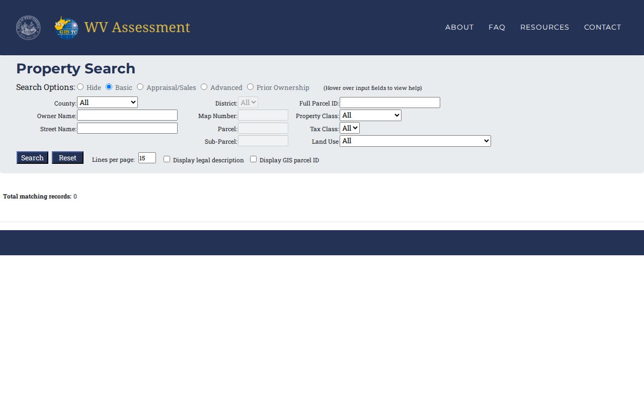
These field choices help steer an address to the right Taylor County parcel record. They do not promise a complete title file behind the portal.
How Taylor County Deeds Connect
The Taylor County Clerk's compiled index lets you filter by index, type, subindex, book, and party role. Four roles appear: GRANTOR, GRANTEE, CREDITOR, DEBTOR. The type list spans deeds, liens, wills, miscellaneous filings, UCC entries, affidavits, assignments, and appointments. Start with the current owner as grantee. That search finds the acquisition deed. Its prior-owner reference steps you back a link, and a grantor search on the same name surfaces later conveyances by that party.
Taylor County's deed requirements make the trail unusually practical. Each recorded deed carries an "And Being" paragraph. It names the prior owner, the prior date, and the deed book and page. Treat that language as a pointer rather than a substitute for reading the earlier instrument itself. Roles matter here too. Trustee, heir, or special commissioner roles can interrupt the pattern.
The Taylor County Clerk document inquiry page links the online index and the office route for records questions, while the West Virginia county-clerk directory rounds out the Clerk's office details.
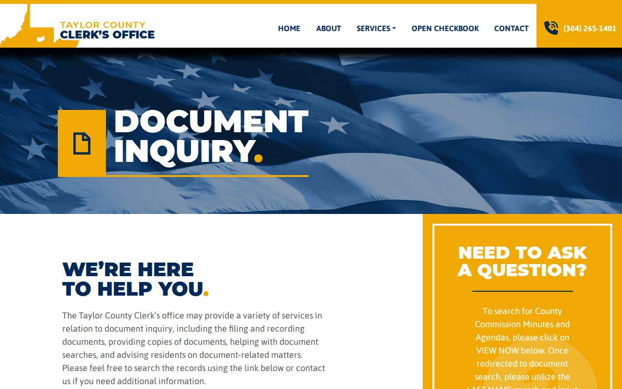
The Clerk serves as custodian whenever you need a certified copy or hit an index entry that raises questions. No online deed images or copy fees are published.
Terms in Taylor County Property Records
Land-record terms describe different steps in one paper trail. Keeping them straight prevents an assessment lookup, a deed, and a map from being read as a single Taylor County record.
- Grantor
- The person or entity conveying an interest in a recorded instrument.
- Grantee
- The person or entity receiving the interest named in that instrument.
- Parcel ID
- The Assessor’s district, map, parcel and suffix identifier for a land record.
- Assessed value
- The value used in the tax system; Taylor’s Assessor states it is 60% of market value.
- Plat
- A recorded drawing that lays out lots or blocks; the deed’s legal description still controls the transfer.
Keep the whole parcel ID with the deed's book and page reference. Add the street address too. Street names and mailing addresses help, but the legal description and parcel key form the stronger bridge between Taylor County office records.
Taylor County’s July 1 Assessment Cycle
West Virginia fixes ownership, use, and value each July 1. That snapshot governs the next calendar tax year. In Taylor County, the Assessor discovers, lists, and values property every year. It sets assessed value at 60% of market value. Timing matters here. A deed can record after the snapshot passes. The Clerk may show a transfer that a later tax roll has not caught yet.
The Assessor's annual valuation page states the 60% relationship plainly. A separate statewide report of 2025 classified assessed valuations gives county totals. It is not a parcel-level revaluation notice, though. For one property, pull the parcel assessment. Ask the Assessor when a recent transfer entered the roll. The Taylor County Assessor's value explanation records the annual schedule and the assessment level. Keep in mind that July 1 is a valuation snapshot. It is not a promise that a public ownership field changes the day a deed is signed.
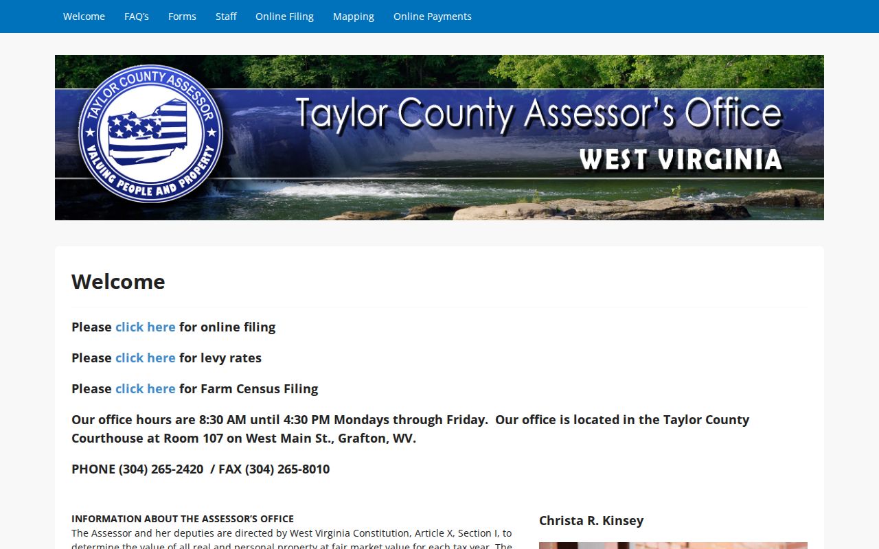
Keep the tax year beside every Taylor County value. A number from one roll is easy to mistake for a current sale estimate without it.
Deeds, Tax Rolls, and Taylor County Property Records
Different offices answer different questions about a parcel. The Assessor describes annual value and classification. The Clerk indexes recorded instruments. The Sheriff's Tax Office handles tickets, while the GIS viewer adds map context. A Taylor County property search works best when you keep those record types separate and compare the parcel number and effective year across them.
| Record | Custodian or source | Useful for |
|---|---|---|
| Assessment roll and parcel card | Taylor County Assessor | Owner label, value, classification, and parcel key |
| Deed and recorded instrument | Taylor County Clerk | Transfer parties, legal description, book and page |
| Tax ticket | Sheriff’s Tax Office | Bill, payment, or delinquency inquiry |
| GIS parcel map | West Virginia parcel viewer | Location, attributes, and visual parcel context |
Each record answers a different question. A map popup is not the deed, the deed is not a live payment ledger, and an assessment value is not a professional appraisal. None of them substitutes for another. When the answer truly matters, request the source record from Taylor County and confirm it with the office that maintains it.
Taylor County Parcel Maps and Map Cards
The countywide WV Property Viewer lets you search Taylor County parcels several ways. You can query by E-911 address. You can also query by parcel attributes such as owner, address, or the full parcel number. Alternatively, enter the district, map, parcel, and suffix parts separately. A geometry search includes a "Set Buffer Size" control. Results can be exported to CSV. Note: the help text warns that owner display may omit co-owners, and mailing addresses can differ from physical addresses. Taylor's Assessor keeps paper tax maps and a countywide GIS parcel database. Office copies carry listed prices. A plain 8.5 by 11 map is $1 per page. That size with aerial is $3. An 11 by 17 map is $3, and an 11 by 17 map with aerial, topographic, or flood material is $6. Other documents cost $1 per copy. Digital data is scoped and priced case by case. The map-card viewer notes separately that copies require a visit to the office. The WV Property Viewer is the online map route. The Taylor Assessor mapping page lists map-copy and data-request terms. A parcel outline is context, not a survey.
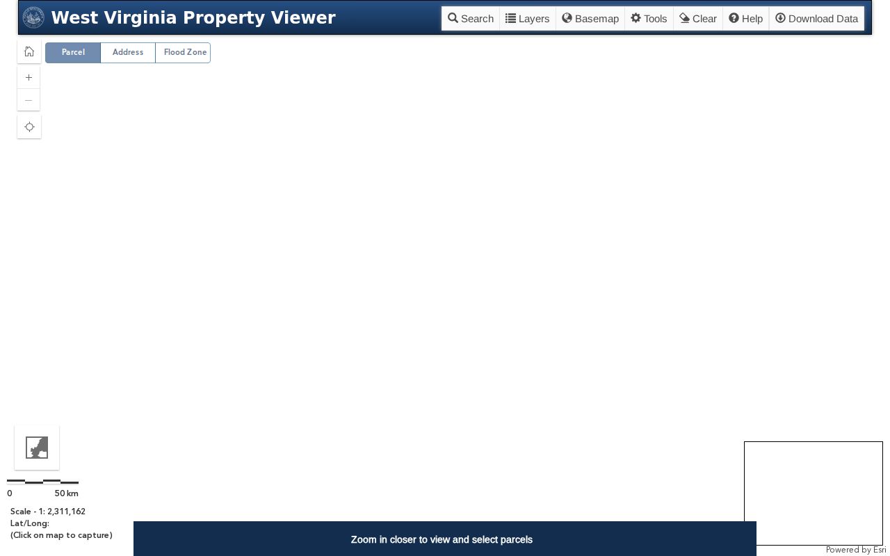
The official map view helps place a parcel; use the recorded legal description and a survey professional for a boundary call. The Assessor's mapping and open-data page shows the separate request path for paper and digital material.
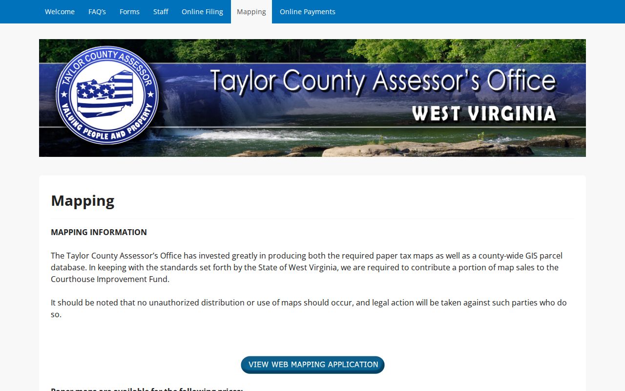
That separation is useful. A public web map can be viewed online, while a paper copy or scoped dataset is a distinct office request.
Grafton and Flemington Property Records
Grafton and Flemington are Taylor County's two incorporated municipalities. County offices still hold the property backbone for both. Grafton's Building and Development division handles permits, renovations, safety standards, and code enforcement. Its published route is contact-led, with no permit-number search form or fee list. Ask the city about a property's permit or code history by address, parcel, or owner. Then compare the answer with the county parcel and deed. Flemington was incorporated in 1922 and named for James Fleming. Its municipal site exposes no permit or zoning lookup, application form, map, or fee schedule. Contact town officials about a local building, right-of-way, or code file. A city or postal name, a tax district, and a county parcel boundary can differ. So confirm municipal limits with the town. Confirm ownership with Taylor County. The Census county and place table helps distinguish incorporated places from unincorporated postal names. Neither town has a separate recorder or assessor.
Taylor County Deeds in the Archives
The West Virginia Archives finding aid lists Taylor County deed books from 1844 through 1901. It also lists an index to deeds from 1844 through 1970. Wills run from 1844 through 1969. Those are verified archive holdings, not a claimed start date for the modern online portal. The Clerk's digital index has no published cutoff. So do not assume the online display covers the full paper chain. Begin with the recorded deed's "And Being" paragraph. Follow its book/page citation, then search the Archives index when the online route stops. Taylor County originals and office copies remain a Clerk question. The Archives finding aid helps identify the historic volume to request. The Archives retention schedule also lists permanent delinquent-land books, land-sale records, and estate files. The Taylor County Archives finding aid gives the deed and index years. Its screen view makes the historic fallback visible beside the modern county index.
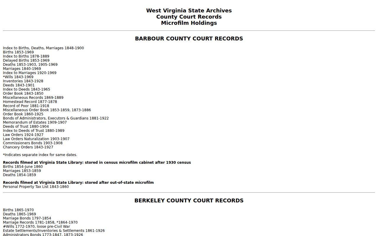
Use the listed years as a route into older Taylor County ownership research, not as proof that every deed or record is online. Years point you to an era. They do not promise full coverage.
Taylor County Library’s Grafton Newspapers
The Taylor County Public Library's local-history collection holds city directories, newspapers, obituaries, cemetery readings, and family histories. It also includes yearbooks and military material. These sources can help tie an old deed description to a person, street, or event. The materials are for library use only and cannot be borrowed through interlibrary loan. Staff note that the newspapers are not indexed. An exact date is important before asking for a search. The microfilm runs include the Grafton Eagle from 1884 to 1885, the Grafton Sentinel Weekly in 1897–1901 and 1906–1929. The Grafton Daily Sentinel runs from 1907 to April 1974. November 1921 is missing from the Daily Sentinel run. Selected Grafton News issues survive from 1934–35 and 1969–72. A gap in that one month can explain an empty search. It is not proof that an event did not occur. The library's local-history collection page names its holdings and newspaper spans. Use a deed, probate paper, or family note to supply the date clue.

This local source can support property-history research, while the County Clerk's recorded instrument remains the land-record evidence.
Taylor County Tax Tickets and Review Dates
West Virginia law sets the rhythm for Taylor County tax tickets. Tickets issue on or after July 15 each year. A taxpayer who disputes an assessed value takes the matter to the county commission. That body sits as the Board of Equalization and Review before taxes come due. Those meetings open February 1. They can adjourn after February 15. They must wrap up by February 28. Under §11-3-24a, the Tax Commissioner may settle certain classification and taxability questions. That power applies once the route and timing requirements are satisfied.
The state's property-tax overview lays out the full calendar. Taylor County publishes no dedicated online tax-ticket screen, payment portal, or local fee schedule. For a current tax bill or a delinquency, use the Clerk's link to the Sheriff's Tax Office. Ask about the parcel, the tax year, and redemption status.
The state tax calendar shows both the July assessment timing and the February review window. Treat statewide dates as a map of the process. Local notices from the county settle the fine print.

Keep the parcel number, deed reference, and ticket year together when you raise a question about a parcel or its value.
Ways to Reach Taylor County Property Records
Taylor County offers two paths. The assessment and parcel viewers help you locate a tax parcel. The Clerk index helps you find an instrument. Some documents still need a direct request. Paper map copies, certified deeds, court files, and tax tickets are not all posted with images. Fees and live query tools are missing too. Each office holds different files. The county Clerk, Assessor, Sheriff, municipality, and court clerk each keep their own slice of the record. The Clerk holds one part. The Assessor, Sheriff, municipality, and court clerk hold the rest. West Virginia's FOIA covers records held by public bodies. A request should name the custodian and describe the item with reasonable specificity. Under §29B-1-3, the office has five days to respond, excluding weekends and legal holidays. It may charge only actual reproduction costs, never search or retrieval labor.
| Route | Best Use | Limit to Keep in Mind |
|---|---|---|
| State portal | Assessment, parcel and map lookup | Coverage dates and result detail vary |
| County counter or phone | Copies, corrections and unposted details | Ask the custodian about cost first |
| FOIA request | Specific non-portal public records | Describe the record and date range clearly |
| Archives or library | Older deed books and historic context | Some material is on-site and not indexed |
The West Virginia FOIA text spells out the direct-custodian route. A clear parcel ID, party name, document type, and date span help an office pull the right Taylor County file quickly.
Limits of Taylor County Public Property Records
No index tells the whole story. A roll entry, map line, or ticket is evidence of one record, not proof that a search caught every interest connected with the land. The online Clerk index publishes no start year. A tax-roll entry follows the assessment cycle. The parcel viewer can show a single owner even when a deed names several parties, and a GIS line is never a surveyed boundary. For ownership, review the deed and order title work. Boundary questions call for a licensed surveyor. Value and classification disputes belong with the Assessor. Bills, payments, and delinquencies go to the Sheriff's Tax Office, since each office keeps a different slice of the record.